
Day 1: Over the Apostles to Suikerbossie
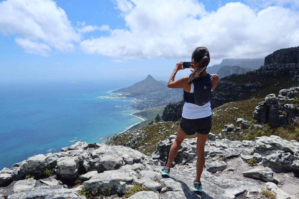
Overlooking Cape Town’s city scenes, start the day at Kloof Nek. Climbing to reach the contour path, the trail follows the contour to Plattekloof Gorge trailhead. Here, make the way up to Table Mountain top. From the top, traverse along the scenic 12 Apostles trail (Western side). This trail makes up the bulk of the distance covered for the day. Ocean and mountains dominate the vistas and on a day with clear skies, Cape Point can be seen in the distance to the South. The descent offers views over the Atlantic seaboard and the scenes of Llandudno are breathtaking. One final downhill concludes the first day at Suikerbossie.
Long = Around 20 km (12.5 mile) ± 8 hours with an elevation gain/loss of 1250m (4100 feet)
Short = Around 15 km (9.3 mile) ± 7 hours with an elevation gain/loss of 1040m (3400 feet)
Day 2: Llandudno to South Yeaster
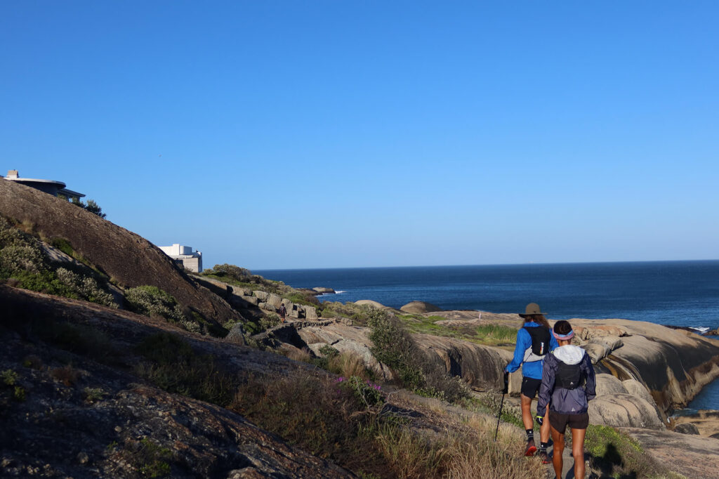
The day starts face-to-face with the icy blue Atlantic waters and white sandy beaches of Llandundo. Here, set off on a coastal trail with gradual ups and downs reaching a point from where the BOS400 and the MFV Harvest Capella shipwrecks can be seen. A short climb up from here reaches Rocket Road. Move along this jeep track to reach the trailhead of Suther Peak (affectionately known as Suffer Peak). This is where the bulk of the climbing is done. The summit views are worth the ‘suffer’ as looking back over the Atlantic seaboard offers exquisite views of the 12 Apostles, Table Mountain and Lion’s Head. After the summit a short uphill is climbed at Karbonkelberg and then it’s downhill to the end. Reaching the harbour, 2 km of easy scenic strolling remains and the day ends across the beach at Cape Town’s favourite bakery, South Yeaster, where the best croissants and coffee can be enjoyed.
About 15 km (9.3 mile) ± 6 hours with a elevation gain/loss of 750m (2450 feet)
Day 1: Smitswinkel Traverse
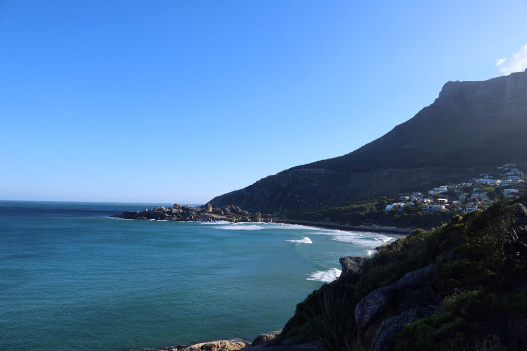
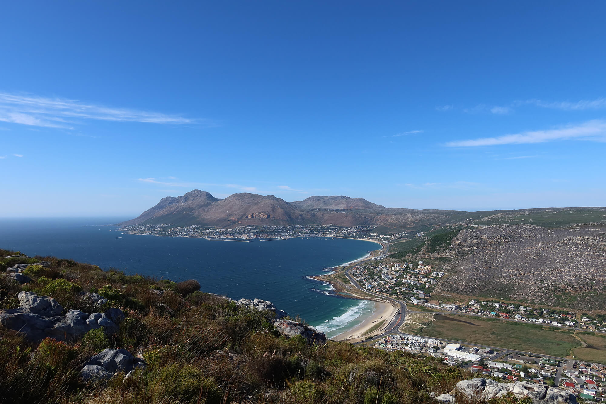
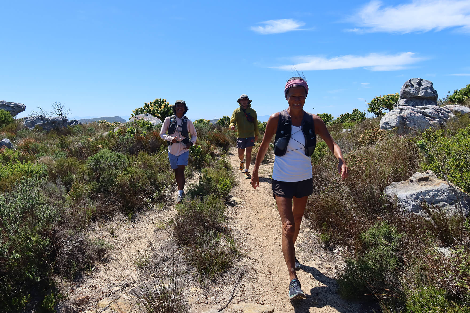
A diamond in the rough as this trail is not common and therefore also not frequented by many. The going is tough and one can be prepared for a strenuous day out. Starting in Simon’s Town we head up to Simonsberg peak which is the first peak on this traverse at 564m (1850 feet) above sea level. From this point we move south along the ridgeline ‘bagging’ Swartkop peak at 678m (2225 feet) above sea level. The ridge continues on for roughly five kilometers (three miles) and it is followed by a fairly steep descent of two kilometers (one and a quarter mile) and an elevation loss of 480m (1575 ft). This trail ends at the Smitswinkel Forest Station which is over the road from the entrance to the Cape Point section of Table Mountain National Park.
About 10.5 km (6.5 mile) ± 6 hours with a elevation gain/loss of 950m (3120 feet)
Day 2: Cape Point hike
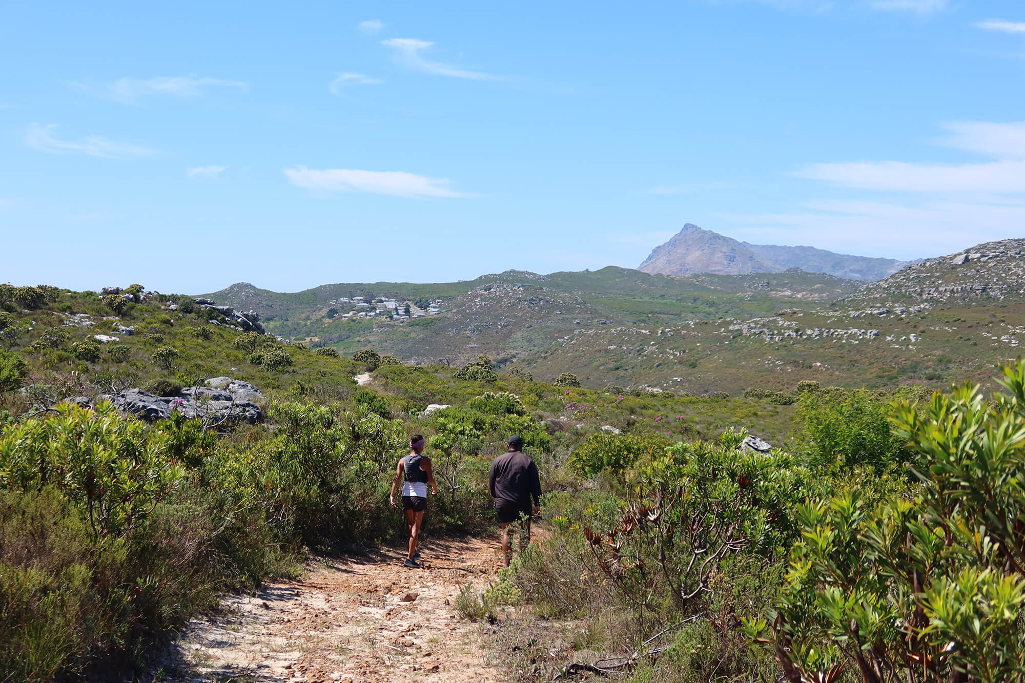
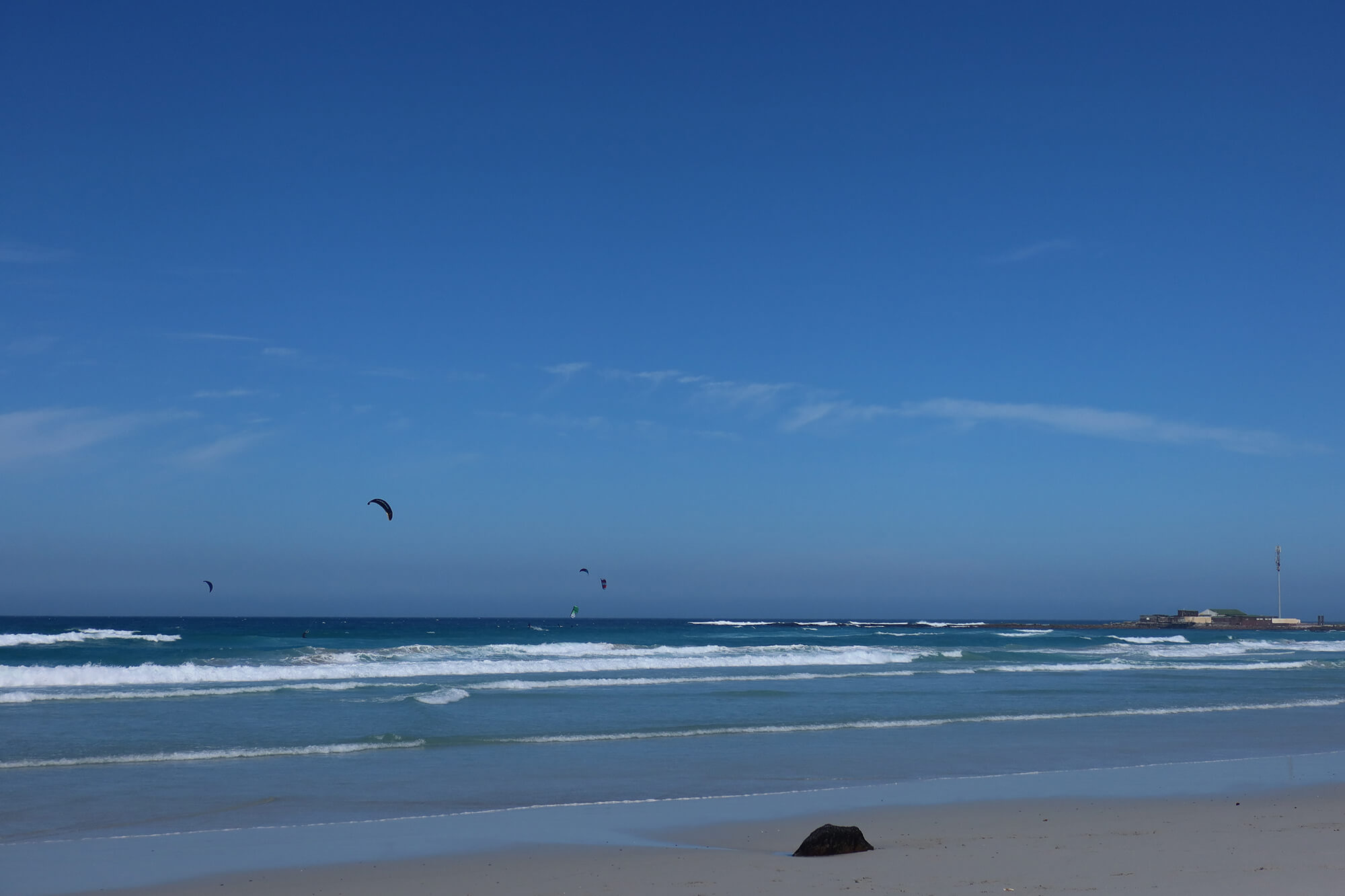
An early start to this hike is essential to get the best of the views available. At sunrise, set off along the East Coast of the Peninsula to reach our destination at Cape Point lighthouse. This trail varies in terrain, around and through hills and valleys surrounded by breathtaking scenery. Expect views over the ocean or down the coastline of Cape Point throughout the hike. The halfway mark offers time to rest and relax in the shade of the grand trees – rare in the reserve – before moving to the rest of the hike, exposed to the sun. The trail is relatively easy moving with several steep sections and technical descents which require calm concentration to navigate. There is a chance of spotting a variety of animals on the reserve. Ostrich, Eland and Bontebok are of the most frequent sightings. If time allows at the end of the hike, there are some restrooms, viewpoints, a cafe and gift shop.
About 16 km (10 mile) ± 7 hours with a elevation gain/loss of 700m (2300 feet)
*Both Day 1 and Day 2 allow for the option of visiting the African Penguin colony at Boulders Beach. These penguins are on the Critically Endangered Species List. As we feel strongly about conservation we fiercely support the efforts of those who fight for and work towards the survival of this species and other species alike. It is therefore our duty that with these tours we donate a portion of the proceeds to the organisations championing this cause. If you feel the need to make a direct donation to any such organisations we will happily put you in touch with them.
Day 1: Hout Bay to Alphen Greenbelt
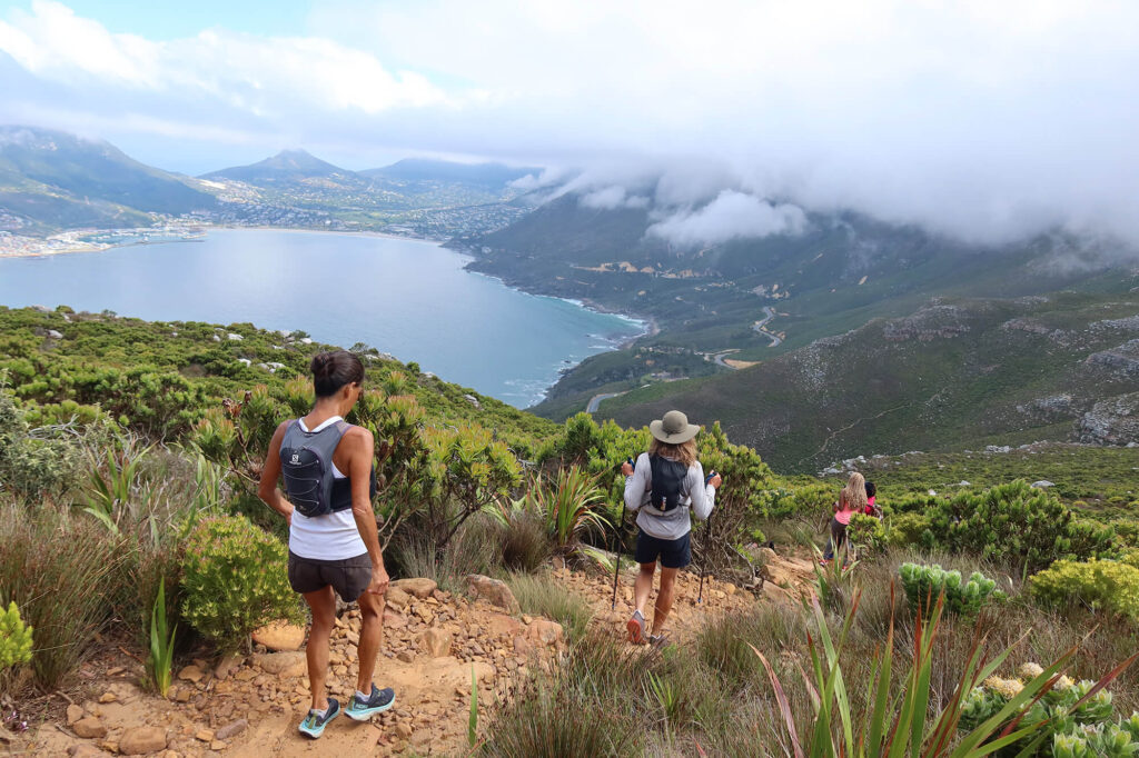
Fall in love with Cape Town on this magical route. We start the day on Chapman’s Peak Drive overlooking Hout Bay. Surrounded by mountains and ocean it becomes clear why this is one of South Africa’s most scenic locations. At East Fort we head to the hills towards an abandoned manganese mine which lends its name to the trail ‘The Manganese Trail’. This trail winds its way through the mountains to the east of the Hout Bay valley and brings us to a saddle with views of the Hout Bay and the mountains to the west as well as False Bay and the mountains to the east. One final climb over the back of Vlakkenberg followed by a rocky descent to reach Constantia Nek (saddle). From here it is easy-going, largely descending through the greenbelts and into the leafy green suburb of Constantia. We end this day at the Alphen Greenbelt. Constantia is home to many boutique hotels, vineyards and restaurants which could serve as reward for a long day on the trails.
About 14 km (8.7 mile) taking ± 6 hours with an elevation gain/loss of 750m (2450 feet)
Day 2: Cecilia 2 Newlands
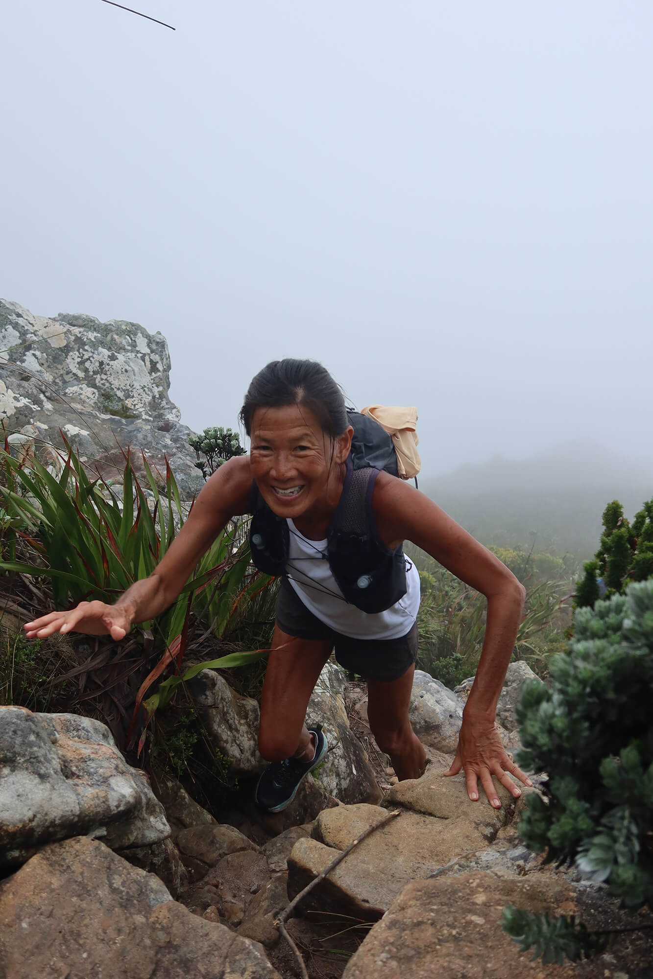
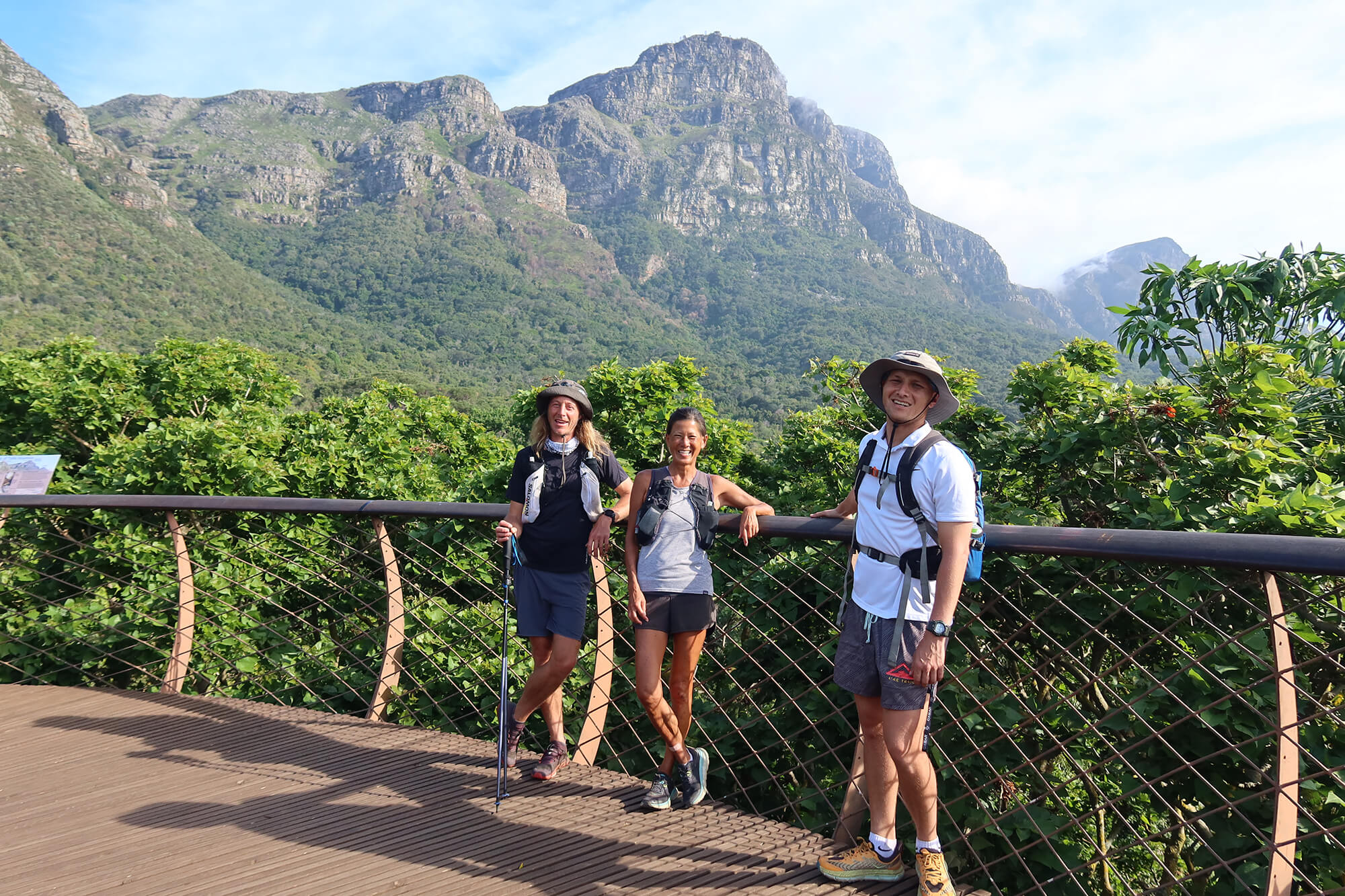
A scenic hike over foothills, through forests and crossing streams. Starting at Cecilia forest we head up beside the stream and into Kirstenbosch Gardens. The gardens have a lot to offer so we will only highlight a few of the gems. From here we move over rolling hills and onto Newlands Forest. A short climb up Fernwood Trail to reach the Contour Path which wraps around the mountain from Constantia Nek to Kloof Nek. Moving through the upper reaches of the forest we finally come out in the clear on the slopes of Devils Peak. There is one final climb that remains to reach Kings Blockhouse which is our highest point for the day. Here the views are spectacular. Looking -back to where we came from, -over Table Bay to the north and -to the east to the surrounding suburbs and the mountains in the distance. An easy descent to finish the day at the Newlands Forest Station.
About 13 km (8 mile) taking ± 5 hours with an elevation gain/loss of 550m (1800 ft)